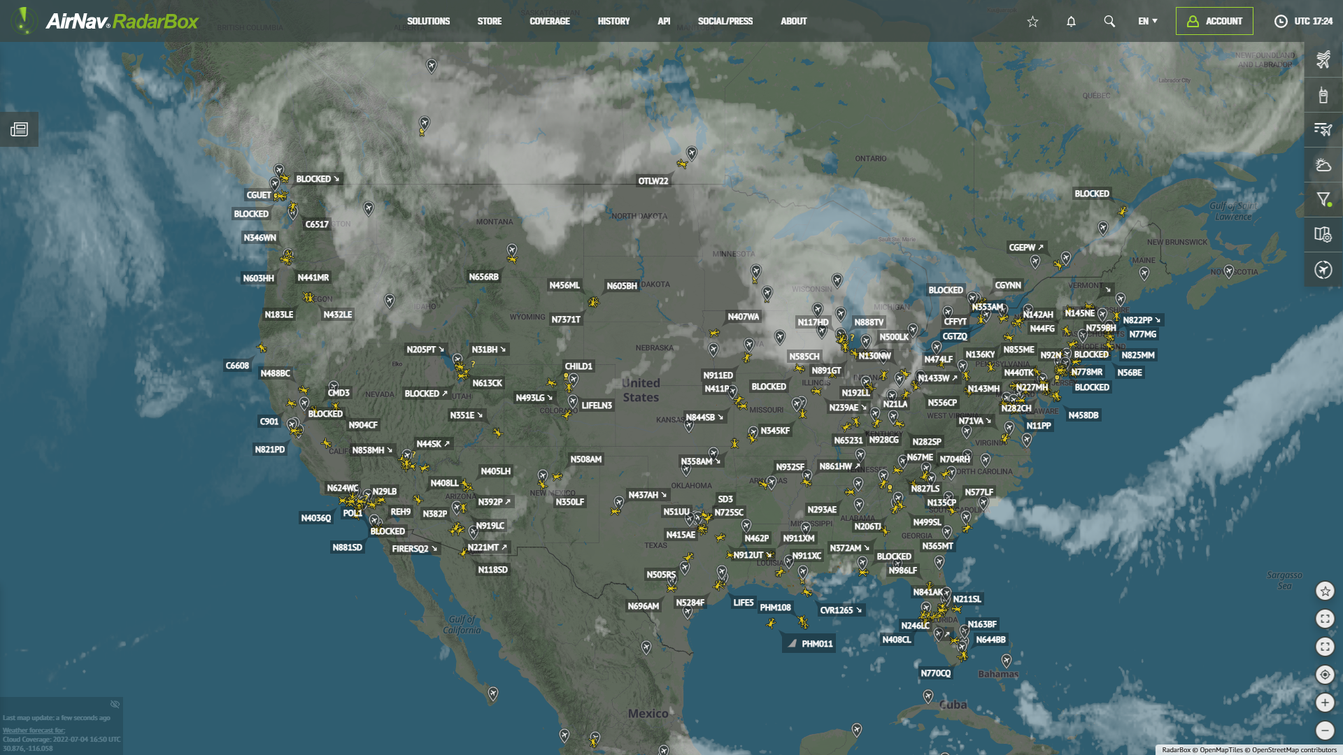
AirNav RadarBox Data Sources: FLARM & HFDL
FLARM & HFDL Coverage Map
As an industry pioneer, AirNav RadarBox currently has 14 data sources, including ADS-B, UAT 978, ASDE-X, EUROCONTROL, FAA SWIM, and MLAT, ensuring data redundancy that directly impacts the quality and reliability of our data.
This week, we'll be featuring FLARM and HFDL (High-Frequency Data Link system) data sources in our blog. Continue reading to learn more!
HFDL (High-Frequency Data Link Systems)
HFDL position reports are received from a High-Frequency Data Link system. Air traffic controllers can communicate with pilots via a datalink. Aircraft and ground stations make use of high-frequency radio signals to communicate.
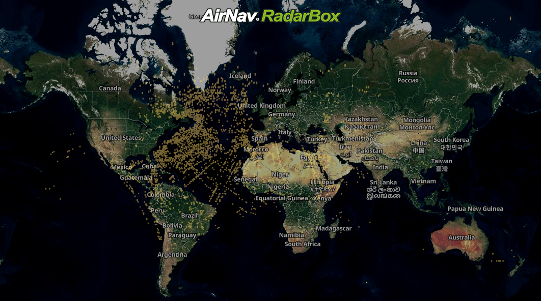
HFDL (High-Frequency Data Link Systems) Coverage Map
FLARM
FLARM, an acronym based on 'flight alarm,' is a traffic awareness and collision avoidance technology for General Aviation, light aircraft, and UAVs. Real-time FLARM position data is currently only provided upon request.
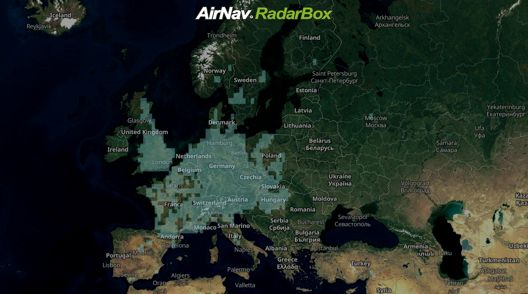
FLARM Coverage Map (Europe)
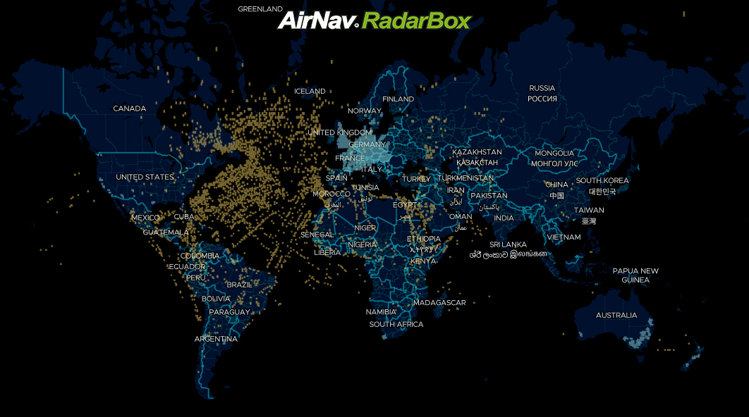
AirNav RadarBox Global Coverage
AirNav RadarBox Global Coverage Map
Our flight data is aggregated from 14 different sources to ensure tracking continuity, accuracy, and redundancy, including:
- 1 - ADS-B (Satellite-based)
- 2- ADS-B (Ground-based)
- 3 - FAA SWIM
- 4 - Eurocontrol
- 5 - MLAT
- 6 - ADS-C
- 7 - HFDL
- 8 - FLIFO
- 9 - ASDE-X
- 10 - FLARM
- 11 - Australia ANSP
- 12 - Oceanic
- 13 - UAT 978 MHz
- 14 - FAA Flight Plans
Are you looking for a customized data solution? So don't delay and send us an email to [email protected] or call us at 1-800-401-2474 to discuss a flight data solution designed according to your needs.
READ NEXT...
 78025
78025Tracking Helicopters With RadarBox
Today we'll explore how to filter and track helicopters on RadarBox.com. Read this blog post to learn more...- 30310
AirNav Announces Coronavirus Related Data & Graphics Available
AirNav Systems is providing data COVID-19 air traffic related data for analysis, study and use. 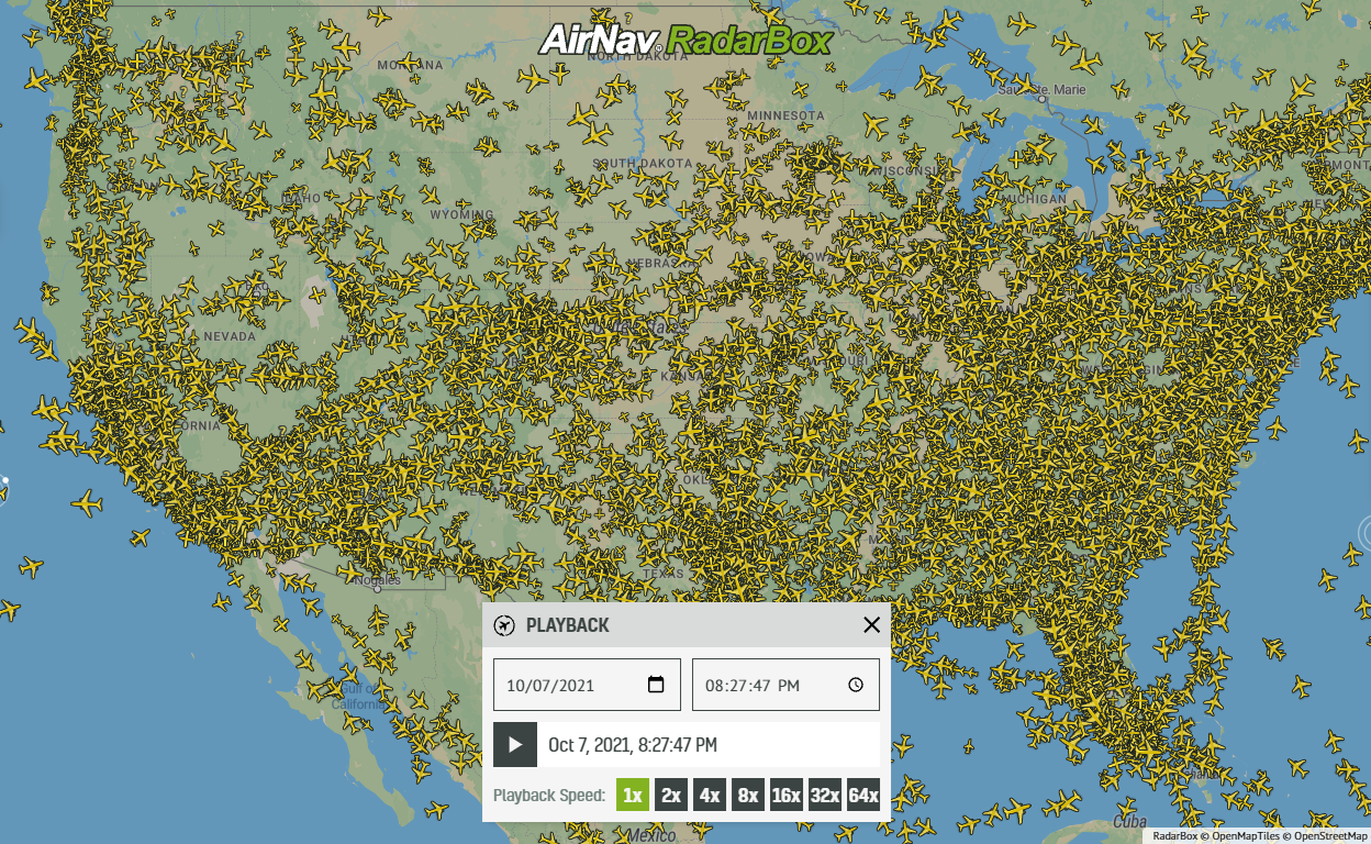 21660
21660Replay Past Flights with Playback
AirNav RadarBox officially launches the playback function on RadarBox.com, allowing users to replay the air traffic for a specific date and time in the past, within a 365-day period. Read our blog post to learn more about this feature.